
|
|
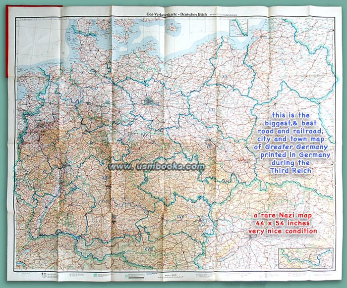
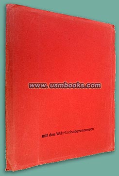
This plain looking 9-¼ x 11-½ inch Third Reich red card stock folder contains a huge, rare Nazi color map called Gea-Verkehrskarte Deutsches Reich mit den Wehrkreisabgrenzungen. It is a very large 44 x 54 inch one-sided color map showing Adolf Hitler's Greater German Reich in early 1940, just before the Wehrmacht invasion of France, Belgium, Holland and Luxembourg.
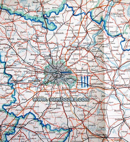
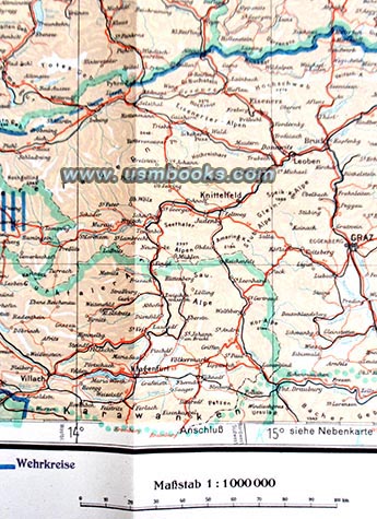
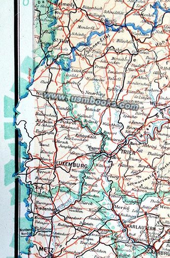
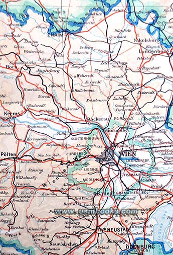
This is an extremely detailed map which not only shows large and small cities and villages, rivers, mountains, borders (including those of the Generalgouvernement) but also small, big and narrow gauge railroads. The territory covered includes Vilna (Lithuania) in the northeast, Königsberg (East Prussia), Denmark, eastern Holland, Luxembourg and France, Lausanne in Switzerland in the west, Innsbruck, Villach and Graz in the south, and Budapest near the bottom right edge of the map. It is the pinnacle of Großdeutschland maps!
This undated Nazi map was printed by Berliner Lithographisches Institut in Berlin. The scale is 1:1,000.000. It is in very nice condition with fine details and bright colors. No fading, no odor. It has a few old pieces of transparent tape on some corner folds on the back side ONLY.
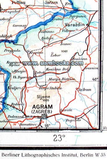
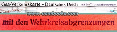
This is a rare map for restricted use, probably in preparation for war. An existing Gea-Verkehrskarte or highly detailed traffic map was overprinted with the blue Wehrkreisabgrenzungen or "Military District Boundaries" (I - XXI). The words mit den Wehrkreisabgrenzungen were stamped on the red cover and at the top end of the map next to the words Deutsches Reich after the blue boundaries were printed on the map as Greater Germany expanded.
Have a look at other original Third Reich maps for sale on USMBOOKS.com. We are happy to combine shipping to save you money!
** SOLD ** |
| • IF you prefer faster and safer Priority Mail shipping with USPS Tracking add $7.55. |
| • IF you wish to purchase highly recommended, but optional insurance, add $4.75. |
| • We will be happy to ship abroad at additional cost. Please inquire. |
HUGE ORIGINAL 1940 NAZI GREATER GERMANY COLOR MAP
SHOWING WEHRMACHT MILITARY DISTRICT BOUNDARIES
GEA-VERKEHRSKARTE DEUTSCHES REICH MIT DEN WEHRKREISABGRENZUNGEN, A FINE 44 x 54 INCH COLOR MAP OF GREATER GERMANY WITH MILITARY DISTRICT BOUNDARIES SHOWN
